As I said on the Day 5 page, I set my phone alarm to go off every few hours so I could start the car. At around 4am, I woke up and started the car. I let it run for a bit, and went back to sleep. The wind, coupled with the sound of the diesel engines running, woke me up, and around 6, knew I wasn't going back to sleep.
I showered at the truck stop and was on my way just after 7am.
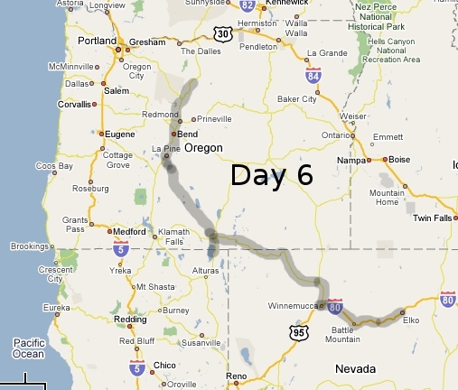
I headed back west on I-80 to Battle Mountain.
There, I stopped at a Wal-Mart and had the oil changed. Noting the signs on I-80 for the 'chain up' areas, I bought a set of chains as well. I bought another battery for the flashlight since it was going dim, and two copies of the door key. I bought a removable latch, so I could leave the main ring in the ignition, but detach the extra key and my knife so I could leave the car and lock the door and let it run.
I then proceeded west on I-80 again until the town of Winnemucca. There, I got onto US95 heading north.
It was a 31 mile drive to get to route 140. For more info on 140, click here.
One stop I did make somewhere on I-80 was at a small truck stop and I bought a temperature guage. It had a cord to run outside and could take the temp inside and out. This came in handy, since I knew it'd be getting cold the further north I went. And with the weather constantly showing it stalled over the northern plains, wanted to know if/when I should leave the car idle all night. If need be.
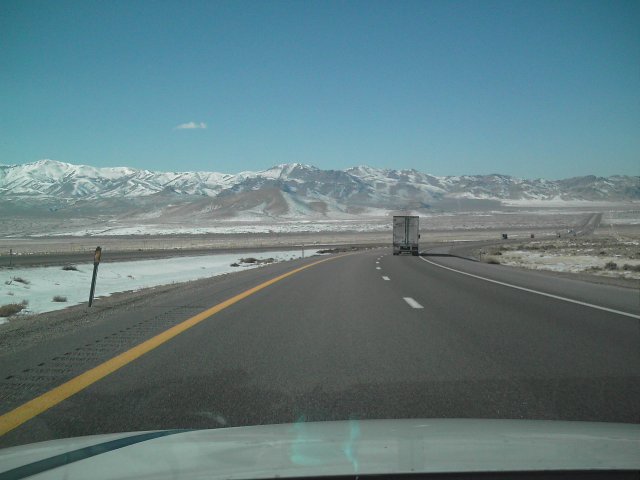
After driving up US95, I turned off onto Route 140. This was the first sign I saw.
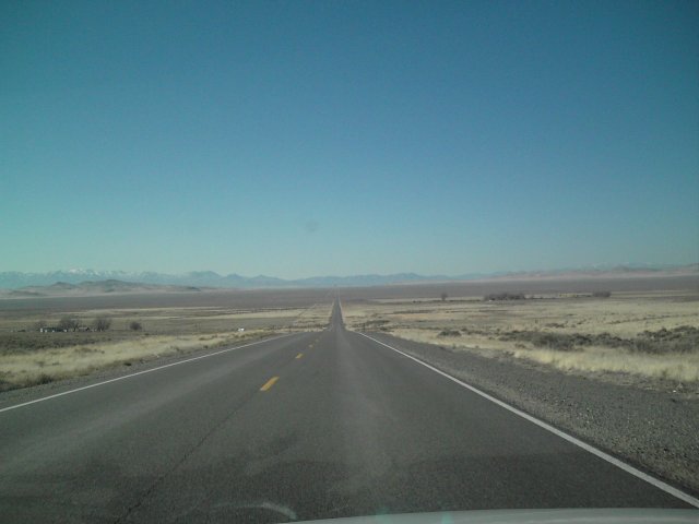
And here's the road. Those mountains are about 30-40 miles away. Route 140 gentle bends north towards a small dot on the map called "Denio". From there, it turns to the west. Another small road continues north.
By this time, I had been checking the weather reports on the radio and nothing came up, other than a statement saying it's required to either have snow chains or studded tires in Nevada to drive through the mountains.
511 was a huge assistant as well. I finally called it for the first time, and it's a very useful travel tool. Luckily, the entire length of 140 to Oregon was clear with no problems.
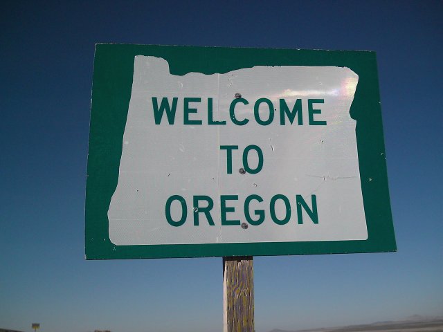
After 111 miles and seeing only 13 other cars, I had reached Oregon.
I still had 67 miles until I reached a 'major' road.
Route 140 immediately becomes tretcherous in Oregon as you go down a mountain with no guardrails. Just signs warning you to be careful.
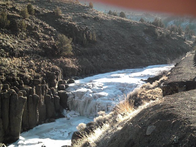
This was the 666th picture I took, so I name these "Devil Falls". They were down in a low valley between two high mountains that gave it very little direct sunlight.
After the 67 miles and seeing only 13 more cars, I was on US395 and headed south to California.
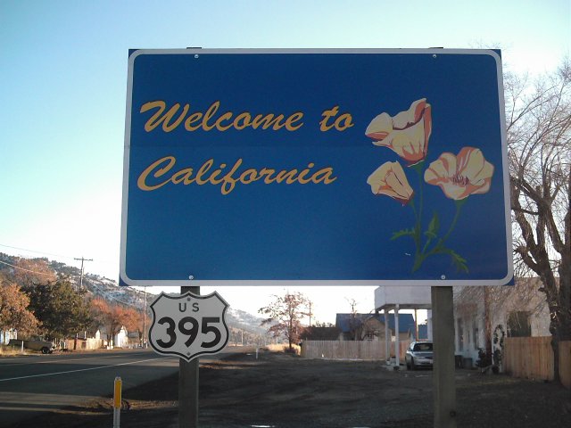
After originally thinking I'd drive through a huge portion of California, I was there for no more than a mile. Just enough to cross in, take a few photos of the sign, go down to the next intersection, and turn around.
Back in Oregon, I drove north on US395 to Valley Falls. There, I sat and had to make a decision.
I could either go left, and drive 122 miles to La Plue and another 32 miles to Bend. Or go right, and drive 90 miles to Riley, and another 27 to Burns. If I went right, I'd have to backtrack west on I-84 once I finally got up to the north edge of the state.
Given that OR 31 was a desolate stretch of road, similar to NV/OR 140, I opted left.
After finishing the 122 miles of OR 31, I headed north on US97 to Bend.
Bend, OR gets no love from me. Their driving is horrible, and downright dangerous.
I stopped for something to eat and continued the drive north. I finally reached my stopping point for the night, at just before 9pm Pacific. It was at a picnic area/pulloff where US97 split with US197.
I had bought an antifreeze/coolant tester and checked my radiator. It was rated to -20°F, so I knew I'd be good.
I parked at the far end of the picnic area away from everyone else there and away from the lights. I had the electric blanket and called it a night.
I woke up at 11pm and was warm enough to keep the car off. The inside temperature was 54°F. Outside, it was 23°F
Day 7