I woke up early again, this time at 7:30am Central, and finished I-40 west until I reached I-540 in Fort Smith.
This was a recently completed stretch, and from the looks of it, may eventually be completed all the way to Kansas City.
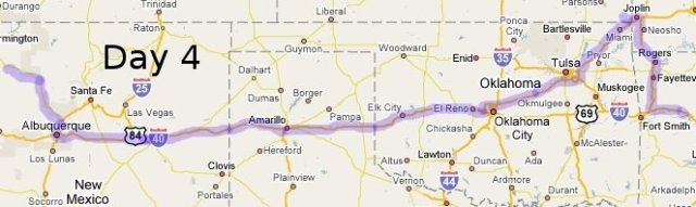
This took me up to Fayetteville and Bentonville en route to Missouri.
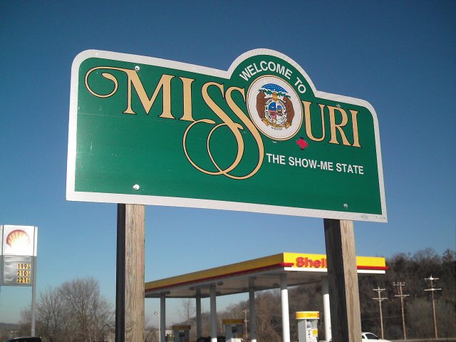
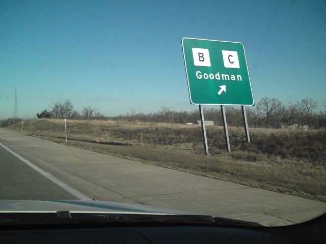
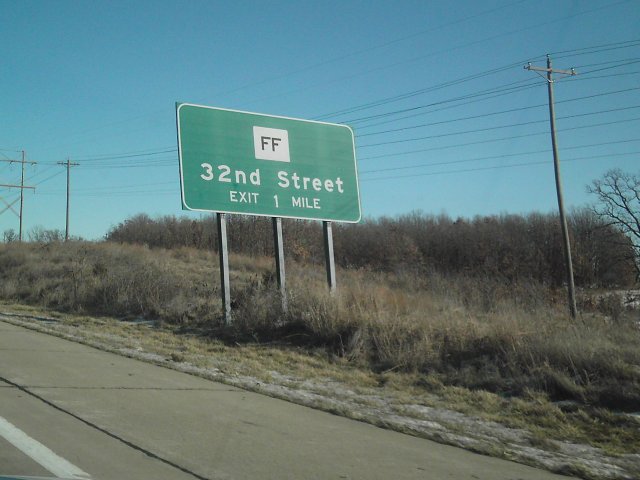
From a family trip that I remember from years ago, Missouri had many county/state road use letters, so I had to take some pics of these signs. Including 00, B, C, FF, etc.
When I-540 ended north of Bentonville, I followd US71 into Missouri to Joplin. I stopped for breakfast, before getting onto I-44 west into Oklahoma.
Right before Oklahoma, there was a very quick detour at Exit 1 onto US166. From there, I crossed into Kansas.
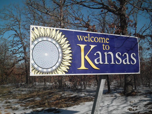
I crossed the line and then turned around back to I-44. Immediately after that, I was back heading west and stopped again, this time for the Oklahoma sign.
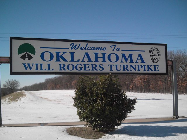
This sign was at the top of snow-covered hill. But in order to make sure the photo would come out, I trudged up it.
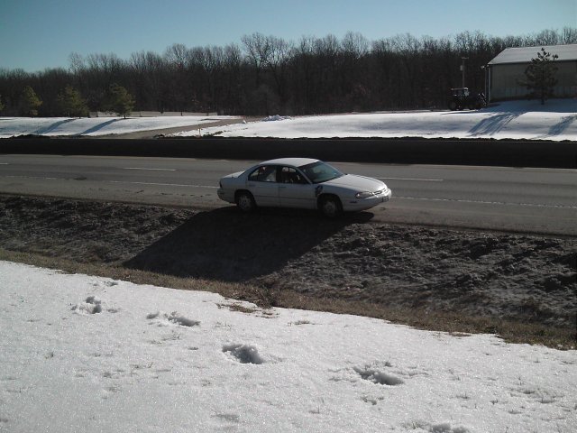
This was one of many shots of my car I'd get in this trip. It wasn't until I worked my way back down the hill and got in the car that I realized that wasn't the state welcome sign, that was simply the Will Rogers Turnpike sign welcoming me to Oklahoma. About a quarter-mile away was another sign, again on top of the hill.
Cold and already with a sore ankle from the quick run back down the hill, I opted to forego the sign.
In addition, the speed limit was 75mph, and I had just got up to 80 when I saw the sign and didn't want to stop for it.
I followed the turnpikes all the way until the western limits of Oklahoma City, where they exit out onto I-40. That included the Will Rogers, Creek, Turner, and John Kilpatrick Turnpikes.
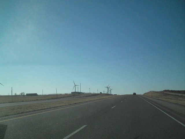
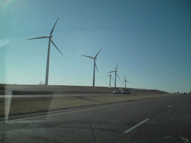
It was somewhere along I-40 west of Oklahoma City that I saw the windmill field.
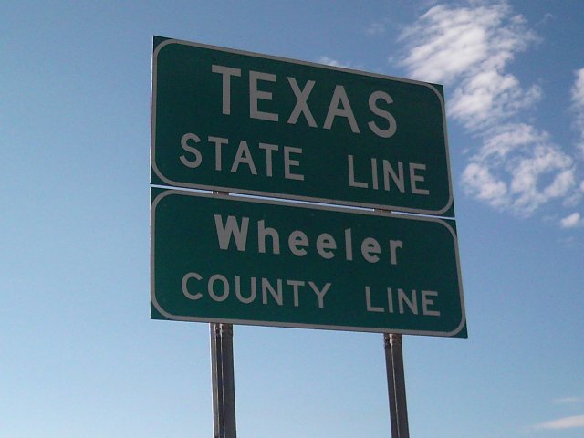
Still with light in the sky, I crossed into Texas.
There was a very small welcome center, that was nothing more than a few parking spaces, a big display, and some garbage cans.
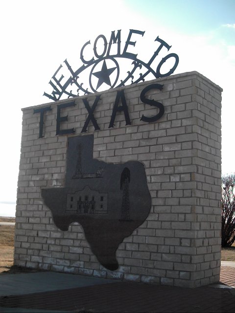
The sun was setting behind the marker, so the shots had to be at an angle to hide the sun.
Once in Texas, even across the northern panhandle, I still had 177 miles on I-40 until I reached New Mexico.
This is the part of the trip that just angered me. I stopped in Amarillo at an Arby's. I opted to go through the Drive-Thru and eat on the road, to help eat up mileage as well. The total was, I believe $8.17. I handed him a $10, a dime, a nickel, and two pennies. Trying to hand over the money, he dropped a penny. He looks at me and says "But the total is $8.17." I explained that he dropped a penny, which is why he's now staring at $10.16 in his hand.
Apparantly, this takes too long to compute in his head. He then hands me my receipt and $1.99 in change. I look at him, and in my stunned silence, disbelieving his idiocy, he turns away from the window and someone else gives me my Chicken Bac'n Swiss and Curly Fries. Perplexed and just laughing off the situation, I drove away. As I drive on I-40, I ate the curly fries and then opened the sandwich. THE F***ING CHICKEN PATTY WAS COLD! By the time I realized this, I was over 20 miles away from Amarillo.
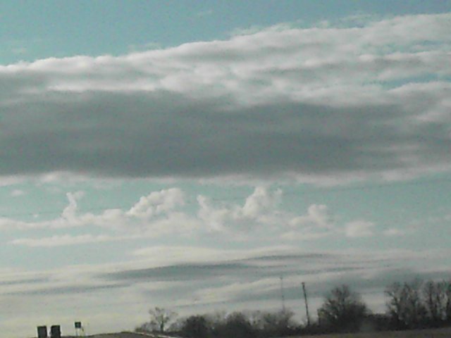
Look carefully. I saw this and took the picture. I used zoom, so the photo is a little grainy. But in real life, this was quite a large display in the sky that I drove for miles seeing before realizing it and then deciding to take these shots while still driving.
To me, and my wife noticed it immediately, is the word "love".
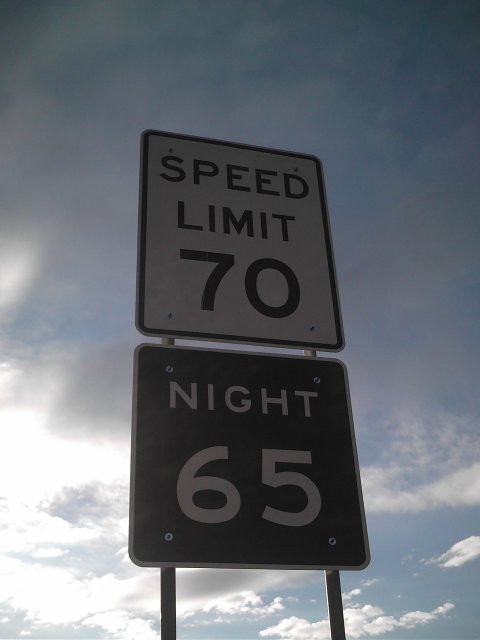
It took me until almost through the state to finally get a photo of the speed limit signs. This was the first time I had ever seen a split limit that wasn't referencing commercial vehicles.
Although I have no photos, I stopped for gas and to use the bathroom in the small town of Vega, Texas. They had three exits, I missed the first two not realizing it was a town and not just more 'access exits' I was passing. I took I-40 Business back into the ton and stopped at the gas station across from a hotel.
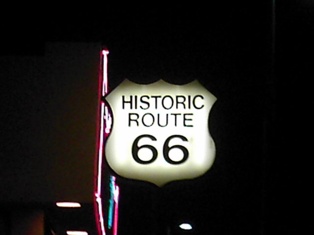
The town was a stop along old US Route 66, but has since been deteriorating every since. The gas station was old and run down, but had all the requirements of a convenience store. Including window cleaner and paper towels. It was a pet peeve of mine since the previous day that the windshield had a grime to it, and it wasn't until I stopped for gas and cleaned the windshield again that the haze was on the inside.
When I left Vega, I headed back on I-40 Business west to take the onramp to the west of the town. I somehow missed it, or there wasn't one, so I ended up driving on old Route 66 for many miles. Every once in a while, there'd be a cross over, but the notice for it was so short, I'd risk hitting the ditch if I were to swing the wheel at the speed I was going.
It didn't matter, though, as the speed limit on it was 65. So I was keeping up with traffic, regardless of the fact I was riding parallel.
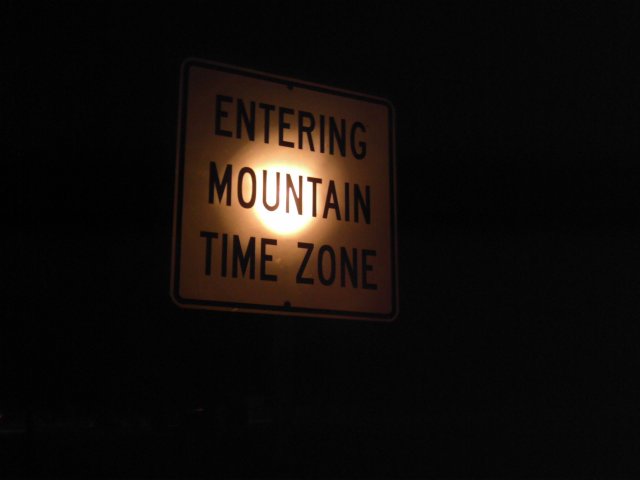
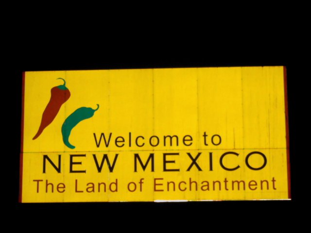
Finally, getting late, I crossed into the Mountain Time Zone and New Mexico.
Oddly, at this point, I was no longer tired and didn't want to stop. I stopped in Santa Rosa to get dinner at a Taco Bell/Long John Silvers. On the road, I got this photo of a business nearby.
My first bit of weather showed up on the I-40 stretch between Tucumcari and Albuquerque. A very light rain, nothing really, fell.
Still driving, I reached Albuquerque and knew I had a choice in direction.
I originally thought of heading west past Albuquerque to US491. I'd then head north to Shiprock and onto Four Corners. Since it was late, it'd also give me a rest stop about 40 minutes west of Albuquerque. But in the morning, I'd still have quite a bit of a drive. I opted instead to take I-25 north towards Sante Fe.
Just north of Albuquerque, I took US550 north/west. This road was a four-lane highway, but with intersections. Because there were no traffic lights, and the speed limit was 70mph, I traveled it quickly to the picnic area I had seen on the map.
This was nothing more than a pull off, but it was on the Continental Divide.
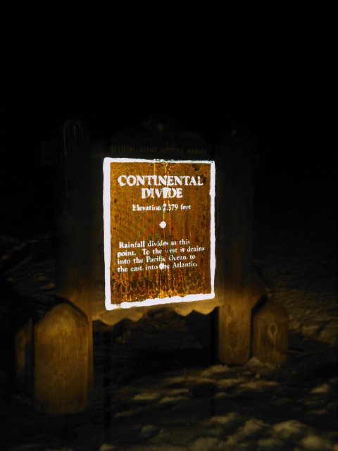
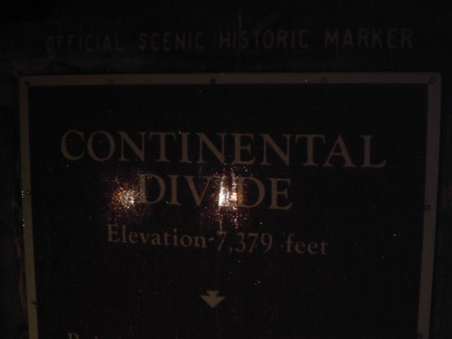
So, at 7,739 feet, I slept for the night. The temperature was cold, as shown by the reflective ice on the sign. I didn't leave the car run. I had yet to actually guage the antifreeze, but I was certain it could handle at least to 0F, and I knew it was only in the 20s or teens.
There was one other vehicle there, a semi without a trailer left idling. I opted to cover myself with the three fleece blankets, a second pair of sweats, and my heavy winter coat. It was 11:55pm Mountain time when I finally called it a night.
Day 5