The day started early. At just before 5:30am MT, I woke up with my face freezing cold. The blankets did a decent job of holding back the temperature, though.
Still, I was awake, and when confronted with a freezing cold car, knew I couldn't get back to sleep. So, I decided to leave.
I stopped at a small gas station/convenience store in Nageezi. Picked up a pound of beef jerky for $5 (lasted two days), a hat, and some more pop.
I then finished the drive to Bloomfield where I got on US64 west to Shiprock. Along the way, I saw the famed 'ship rock', but by the time I had gotten my camera turned on, a bad wind came through blowing snow and I lost it in the haze.
I turned south on US491 to try and get a shot of it, but with the sun now shining from behind the rock, even if I could make out the rock, the sun bled the screen. Just off this road is where I saw this:
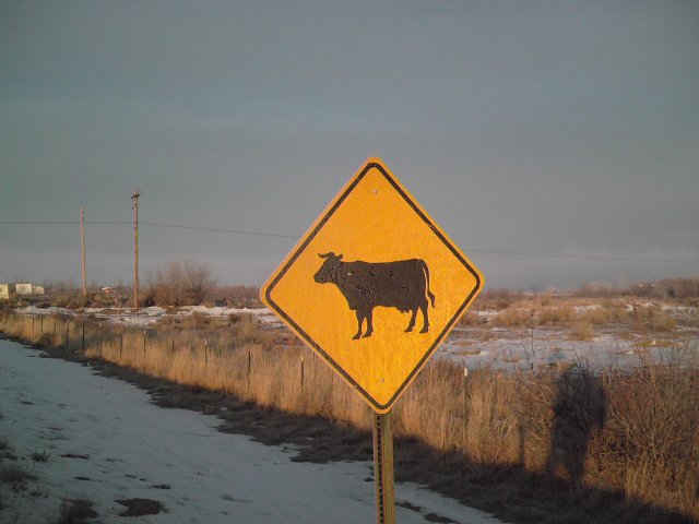
This was the first I had seen of a cow crossing sign. During the course of the trip, this would become less odd.
This is what I'd consider a quasi-shot of myself. It looks like the shadow of someone from a thrasher flick.
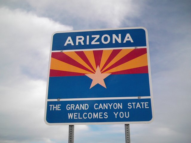
I then got back on US64 west into Arizona.
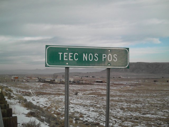
In the small town of Teec Nos Pos, Arizona, US64 ends at a junction with US160. I then took that back north towards Four Corners. I actually re-entered New Mexico before going there.
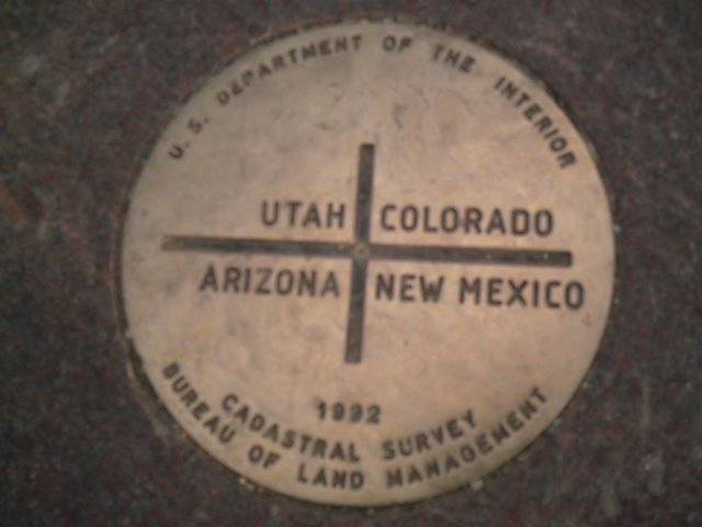
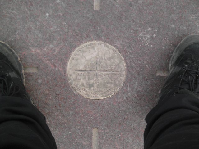
This last pic was a last minute decision. For the trip, I only have about three photos that I'm actually in (other than my finger...lol).
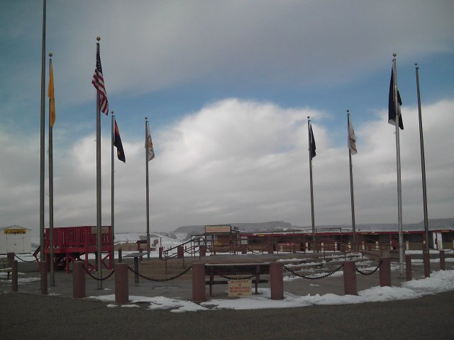
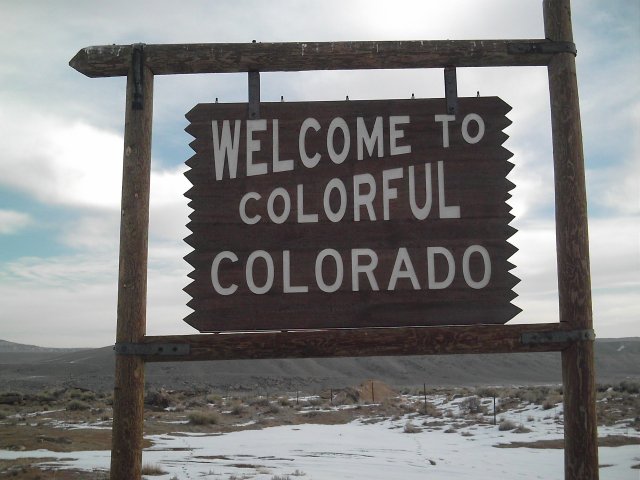
And finally one parting shot, before I drove around the monument through the four states and back into New Mexico before entering Colorado on an US160.
From here, it was 5 miles to Colorado Route 41, and another 10 to Utah. This was my first encounter with the 'open range' signs. Here, the cattle ranges stretch acrossed the roads, so there was always the risk of cattle on the highway. This helped limit speeds, as well. Although I still did 60 or 70 until I'd reach a blind corner around a hill.
There's some grafiti that's visible. My first encounter with a state sign getting vandalized.
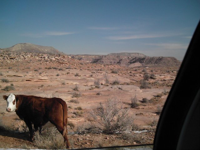
Shortly after entering Utah, this was my first encounter with a cow. He was just off the road, but I slowed down enough incase he got spooked. He didn't seem to care. From here on out, the only cows I saw were far off in the distance from the road.
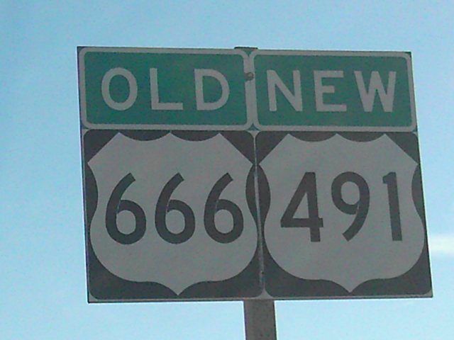
This was a highway that raised a lot of fuss for many years by the locals. It's a short road that went from Monticello, UT into Colorado, combined with US160 for a while to Shiprock, where it went its own seperate way south to I-40 west of Albuquerque.
Now, for those who don't understand how U.S. Routes are labeled, it's a lot like interstates. Interstates are one or two-digit numbers. A spur or loop is a three-digit number with the last two matching what it branches from. I-279 in Pittsburgh branches off of I-79 and goes into the city and 'loops' back to I-79 near Robinson Twp.
Interstates spurs and loop numbers get reused with each new state. U.S. Routes differ.
US Route 6 runs from Provincetown, MA (Cape Cod) to Bishop, CA. It's most famous 'branch' is US 66 which ran roughly from Chicago to Los Angeles. The road has since been decommissioned with the advent of the interstate system. I-55, I-44, and I-40 (from Oklahoma City on west) pretty much used the same roadway and didn't leave much for US66 to stay in existence. In Gallup, NM, there was a branch off US66 that went north through Colorado to Monticello, UT. Based off the number scheme, it was named similar to US66, using 6 as a prefix. Hence, US666. Nothing demonic about it, but people get uptight.
What's funny, is now, even with the renumbering taking place quite a while ago, they now must carry the dual-sign to keep motorists who have old maps up-to-date. Utterly rediculous, but at least I got a photo before they take down the old 666 signs.
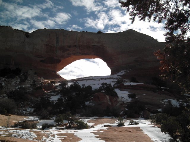
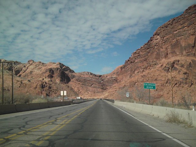
This was the first arch I came across. There's many more when I stopped at Arches National Park later.
By this time, I had already decided to just head north to Salt Lake City. This meant a lot of non-interstate driving. And because I was going by either Canyonlands or Arches, I knew I couldn't 'not' stop at one.
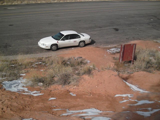
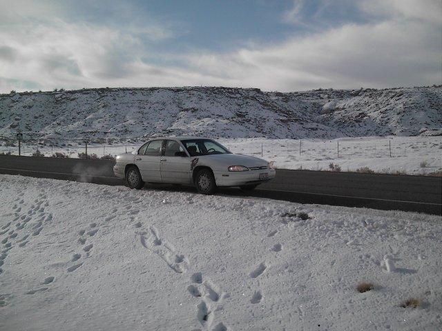
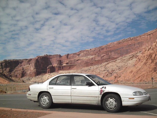
I climbed a decent sized hill to get a good shot of the arch, so I had to take one of my car on my way back down.
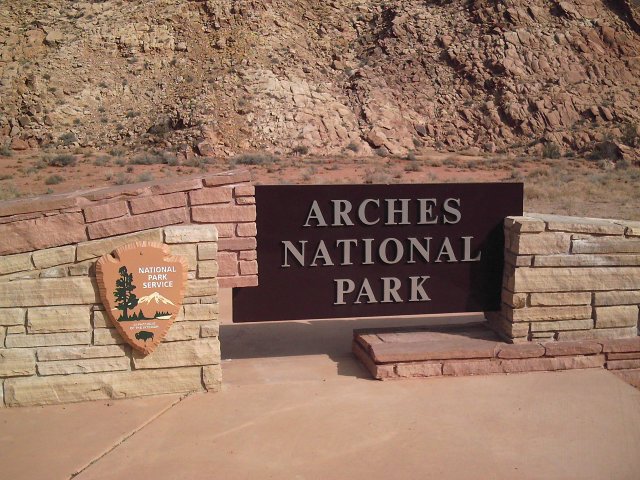
Finally, I got to Arches National Park, just north of Moab. You can find more pics from the park here.
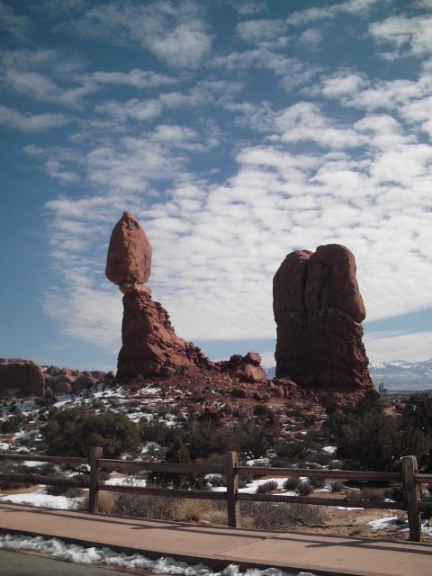
And here's the best one photo I can figure from the park, at least to me. As cool as the arches are, Balanced Rock takes the cake.
Despite using the cutacross through Utah as a shortcut, I wound up spending much more time at Arches than I anticipated. I got onto I-70 finally and stopped in Green River at a Pilot truck stop. There, I bought an electric blanket for $20 that's DC powered.
I then took US6/US191 North 54 miles through nothingness to Price, UT. After Helper, I stayed on US6 until I finally reached I-15 just south of Provo.
From there, it was a long drive north to Salt Lake City, and then west on I-80 into Nevada. Along the way, on the Rand McNally map, a 57 miles stretch of road that shows no exit ramps.
It wasn't until I got into the western states that I found out there's many roads so small that Rand McNally doesn't put on the map that actually do have exits. But, along the way, I got stuck in what can be best described as a sandstorm with snow. It passed after only a few miles, but the total whiteout left me unable to see the car only 100 or so feet infront of me.
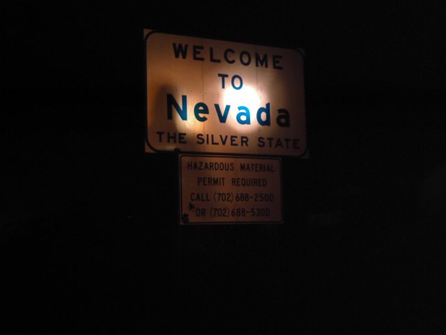
As expected, the moment I approached Nevada, I could see casino lights. I was going to stop and sleep at the border, but I still felt I had a good two hours of driving left.
I finally stopped in Wells, NV* at a Flying J truck stop.
I drove over away from the stop after gassing up and parked alongside two other cars doing the same thing. The slow roar of hundreds of tractor-trailers nearby acted as the backdrop. I didn't run the car all night despite the temperature.
I did set my phone to wake me up every two hours, so I could start the car and make sure I don't inadvertantly drain the battery running the blanket.
*-it's on the way to Elko, which is marked on my image map.
Day 6